Molas Pass at 10,910 Feet, and the Loop That Connects It
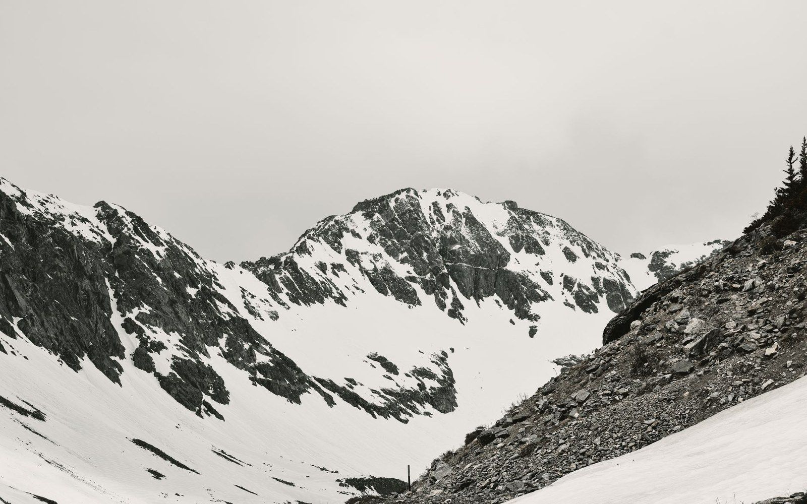
One of the highest points on the San Juan Skyway sits above timberline on a shelf of ancient volcanic rock, with the Grenadier Range to the east and the Silverton basin below.
The Pass and the Byway
Molas Pass (USGS: 10,910 ft) lies on US-550 about six miles south of Silverton, on the road to Durango, crossing the divide between the Animas River drainage and the headwaters above town. The road climbs from Silverton at around 9,300 feet, gains the summit in a short series of switchbacks, then descends southeast toward Rockwood and the canyon. At the top, treeline falls away and the full architecture of the San Juan Mountains is unobstructed in three directions.
The pass sits on the San Juan Skyway, a 232-mile All-American Road designated by the Federal Highway Administration in 1996 — one of only a handful of routes in the country to carry that higher classification above the standard Scenic Byway designation. The loop departs Durango on US-550 northward through Silverton and Ouray, crosses to Ridgway, turns southwest to Telluride on CO-62 and CO-145, and returns to Durango via Dolores and Mancos. Along that circuit it crosses four mountain passes: Molas Pass, Red Mountain Pass (11,018 ft), Dallas Divide (8,970 ft), and Lizard Head Pass (10,222 ft). Molas is not the highest of these — Red Mountain Pass holds that distinction — but it offers the broadest open exposure and is the most directly accessible from the Animas corridor.
Volcanic Rock Underfoot
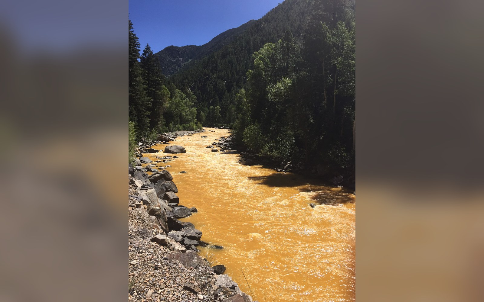
The summit landscape at Molas Pass is a product of the San Juan volcanic field ↗, one of the largest ash-flow caldera complexes in North America. USGS mapping documents that the field produced some 8,000 cubic kilometers of volcanic material between roughly 35 and 23 million years ago, during the Oligocene epoch. Multiple caldera-forming eruptions overlapped across what is now the central San Juan range, depositing thick sheets of welded tuff — compressed volcanic ash fused under its own heat — that form the resistant caprock visible across the high terrain above Silverton. The reddish and ochre tones on the slopes of Red Mountain, seen from Molas summit, are not tuff but hydrothermal alteration of volcanic rock by acidic fluids, the same geological process that left the Silverton district riddled with sulfide mineral veins — and, centuries later, with the drainage problems that reached the Animas River in 2015.
The Grenadier Range, visible to the east from the Molas summit, is geologically older and distinct: a Precambrian quartzite and schist formation that predates the volcanic episode by more than a billion years, thrust upward and left standing as the softer surrounding rock eroded.