The Weminuche Is Bigger Than the Town Will Ever Be
At 499,771 acres, the Weminuche Wilderness dwarfs everything Durango has ever built — and its boundary lies in the mountains north of Main Avenue.
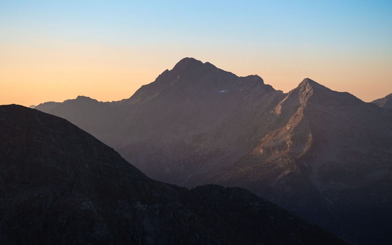
A Designation Drawn in 1975
Congress created the Weminuche Wilderness under the 1964 Wilderness Act when it passed the 1975 act designating it, folding a large roadless tract of the San Juan and Rio Grande national forests into the federal wilderness system. The original designation protected roughly 405,000 acres; a subsequent expansion in 1980 pushed the boundary outward and brought the area to its current 499,771 acres as recorded by the U.S. Forest Service ↗, making the Weminuche the largest wilderness area in Colorado by a substantial margin. The name derives from a band of the Ute people — the Weminuche — whose territory covered this drainage system for centuries before the Brunot Agreement of 1873 extinguished Ute title to the San Juan high country and opened it to Anglo mining.
Wilderness designation, in the formal statutory sense, prohibits motorized vehicles, mechanized equipment, and permanent structures within the boundary. No road enters the Weminuche. Access is by foot, horseback, or on skis, and the Forest Service enforces those terms across a landscape that spans parts of Hinsdale, Mineral, and La Plata counties. The wilderness reaches toward Durango along its western edge, where the boundary follows the upper Animas Canyon north of town, and the Colorado Trail, which ends at a trailhead just outside Durango, gives hikers a continuous route on foot into the wilderness east of Molas Pass.
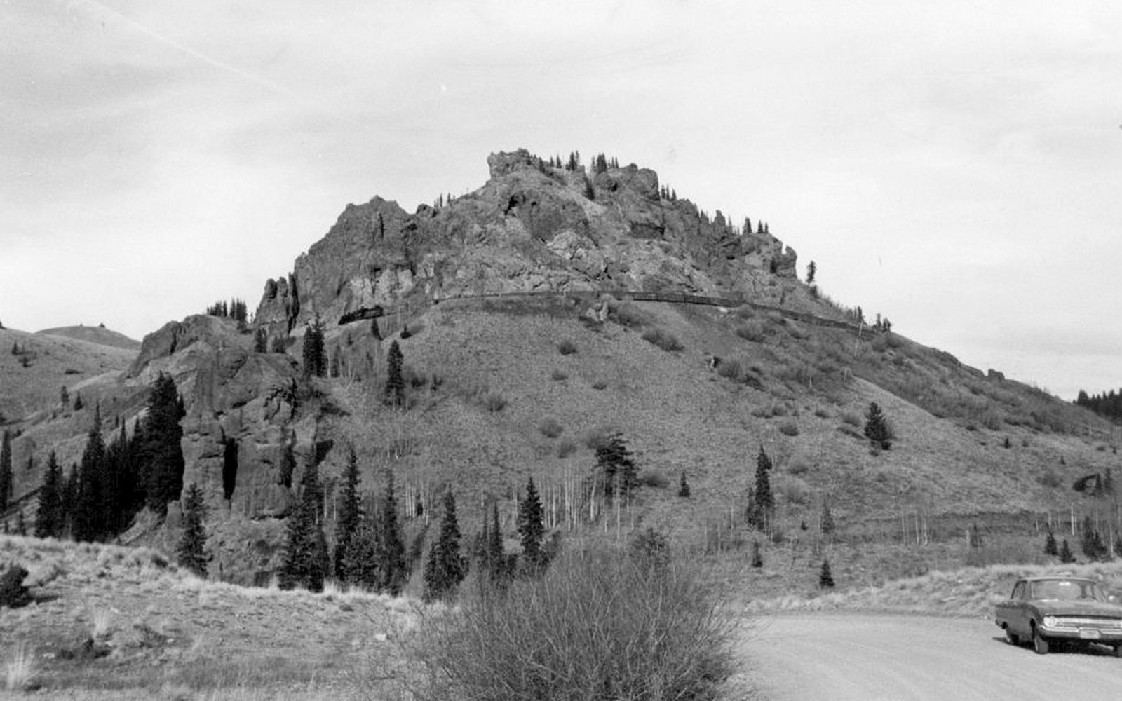
The Drainages and the Terrain
The Weminuche is fundamentally a headwaters landscape. The Animas River gathers itself inside the wilderness before running south through the Animas Cañon toward Durango. The Rio Grande's headwaters rise in the northeastern reaches of the wilderness, near the Continental Divide, and flow eastward out of the San Juan Mountains. Vallecito Creek drains the southern interior, feeding Vallecito Lake below the wilderness boundary — one of the larger lakes in southwestern Colorado — before joining the Los Pinos River. The Piedra River and its forks drain portions of the eastern and southeastern flanks.
The Continental Divide itself runs through the Weminuche along its northern spine, rising in places above 13,000 feet. The highest point, Sunlight Peak, stands at 14,059 feet above sea level according to USGS data ↗, and it is joined by Windom Peak and Mount Eolus in the Needle Mountains — a cluster of fourteeners in the west-central wilderness accessible from Needleton, a flag stop on the Durango & Silverton Narrow Gauge Railroad. That quirk of access — wilderness peaks reached by a coal-fired narrow-gauge train dropping passengers at a backcountry trailhead — is among the more unusual arrangements in American public land management. Rockwood, near the wilderness's southwestern approach, is also a D&SNG flag stop, positioned at the top of the Animas Cañon where the High Line begins its ledge above the river.
The terrain within the Weminuche is not uniformly alpine. Below the treeline, which falls at roughly 11,500 feet across this section of the San Juans, dense stands of Engelmann spruce and subalpine fir give way to meadows and willow carr along the creek bottoms. Above timberline, the landscape opens into tundra, boulder fields, and the remnant cirques left by Pleistocene glaciation. The San Juan volcanic field — one of the largest volcanic provinces in North America, as documented in USGS regional surveys — underlies much of this terrain, and the characteristic red and orange of oxidized volcanic rock colors the ridgelines throughout.
Elk, Bighorn, and What the Wildlife Data Show
The Weminuche supports populations of Rocky Mountain elk, mule deer, black bear, mountain lion, and Rocky Mountain bighorn sheep — all documented by the Colorado Division of Wildlife in its periodic herd-unit assessments for the San Juan region. Elk numbers in the surrounding Game Management Units have been among the highest in the state; the San Juan herd complex is one of the largest elk populations in Colorado, and the wilderness interior provides essential summer range and calving habitat that adjacent private and lower-elevation lands cannot.
The bighorn sheep population within and immediately adjacent to the Weminuche has historically occupied the high talus and cliff terrain along the Needle Mountains and the upper Animas drainage. Colorado Division of Wildlife surveys have recorded bighorn in these units, though the population has faced periodic pressure from contact with domestic sheep carrying respiratory disease — a dynamic that has driven wildlife managers to restrict domestic sheep grazing allotments near bighorn range across multiple wilderness units in the state. The Weminuche is no exception: allotment adjustments in the San Juan National Forest have been made specifically to reduce contact risk.
Black bear density in the Weminuche is substantial enough that the Forest Service and CDOW maintain consistent advisories about food storage for backcountry travelers. The wilderness's roadless character means human hunting pressure is lower across much of the interior, and bear populations in remote drainages are correspondingly less disturbed than those on the periphery where four-wheel-drive access ends at the boundary.
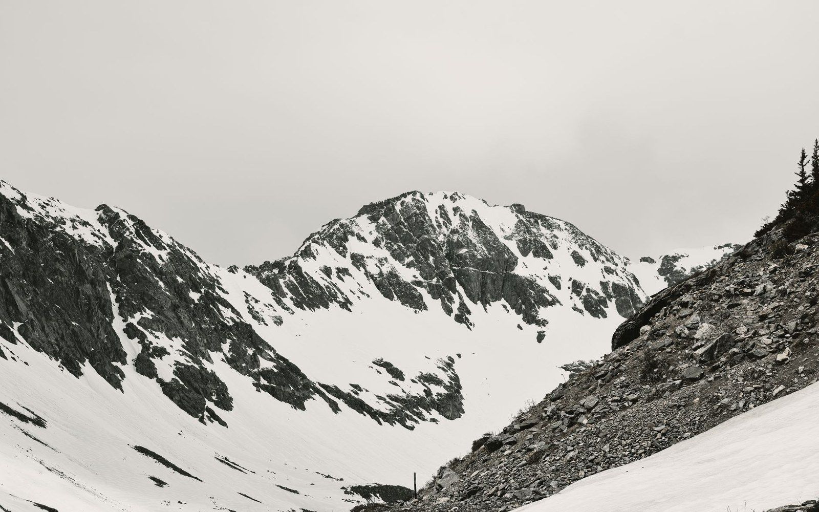
The Colorado Trail at the Southern Edge
The Colorado Trail runs 486 miles from Denver to Durango, terminating at the Junction Creek Trailhead at 6,512 feet, a few miles west of downtown. In its final western segments, the trail passes through the southern margins of the Weminuche, and the route east of Molas Pass runs through designated wilderness, while the final miles to the Durango terminus lie mostly in the surrounding national forest. A hiker completing the trail from Denver arrives not simply at a city trailhead but at the end of a long arc through the wilderness that has bounded Durango from the northeast since the 1975 designation.
Molas Pass, at 10,910 feet on US-550, provides one of the more accessible road approaches to the Weminuche's southern corridor, and several trail systems descend from the pass into Elk Creek and the upper Animas drainage inside the wilderness. The pass is also a visual threshold: looking north from its summit, the ridgeline ahead marks wilderness territory, unbroken by road or building for many miles.
The town of Durango, incorporated in 1881, covers roughly seven square miles. The Weminuche Wilderness covers 499,771 acres — approximately 781 square miles. The disproportion is not incidental. The wilderness exists at the scale it does precisely because the terrain inside it resisted the infrastructure that built Durango in the first place, and what the railroad could not penetrate, Congress eventually protected.