Where the Colorado Trail Ends, at 6,512 Feet in Durango
The 486-mile route from Denver reaches its western terminus at the Junction Creek Trailhead — a modest signpost at the edge of a railroad town.
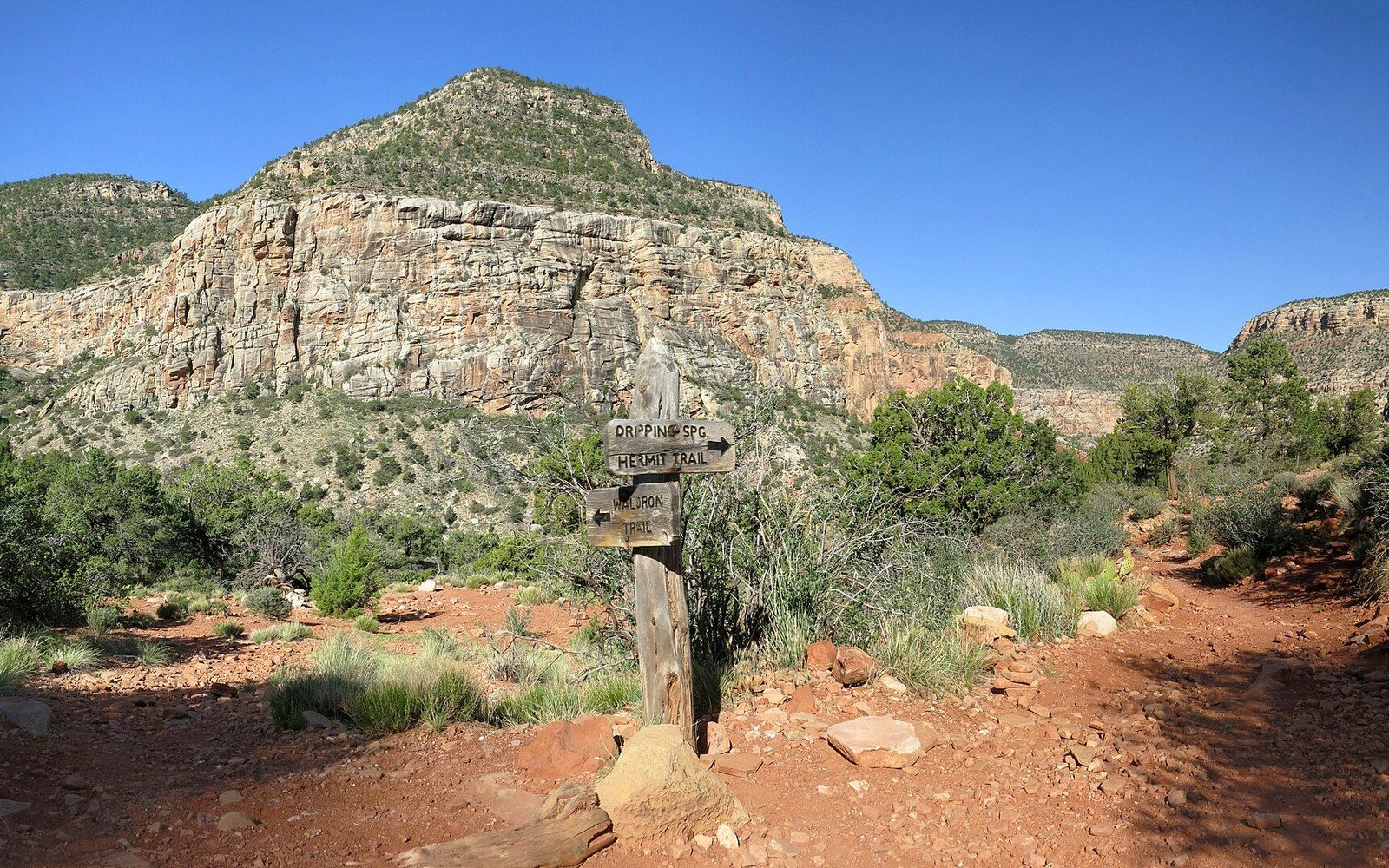
The End of the Line
The Colorado Trail runs 486 miles from Waterton Canyon, southwest of Denver, to the Junction Creek Trailhead on Durango's western fringe, where the elevation registered by the U.S. Forest Service is 6,512 feet. The terminus is unassuming: a gravel parking area, a bulletin board, a register. For most through-hikers arriving from the northeast, the Animas River valley visible below and the smell of town mark the finish more emphatically than any monument.
The trail reached completion in 1987, the product of a sustained volunteer and agency effort coordinated by the Colorado Trail Foundation and the USFS. Its 486 miles cross eight mountain ranges, six national forests, and six wilderness areas — the last and largest of them the Weminuche Wilderness, which at 499,771 acres (USFS) occupies a substantial portion of the trail's final hundred miles through the San Juan Mountains.
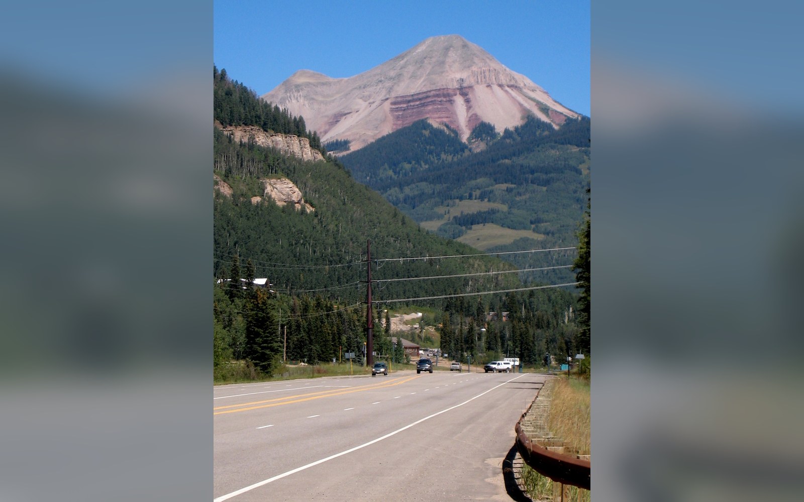
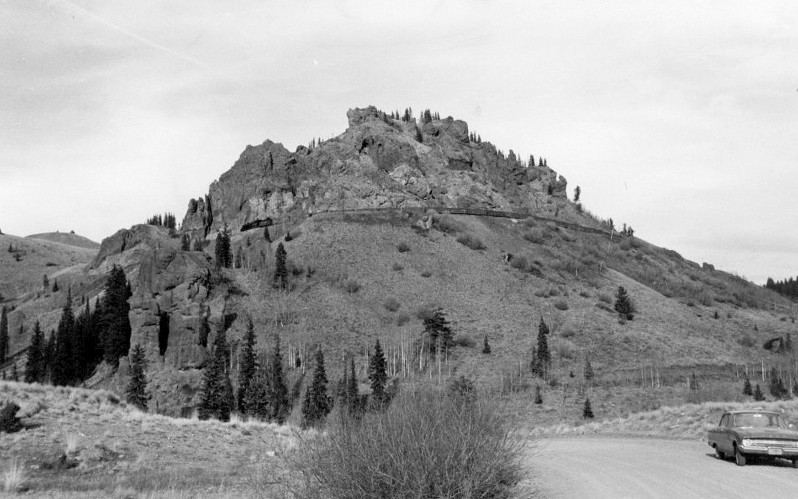
Through the San Juans
The route's southwestern segment is its most demanding. Coming off the high spine of the San Juans, the trail drops through terrain shaped by the same volcanic geology that produced Engineer Mountain and the peaks above Molas Pass. Above treeline for long stretches, it crosses passes exceeding 12,000 feet before descending toward the La Plata Mountains and the drainage above Junction Creek. The wilderness areas traversed along the route — including the Weminuche — impose the trail's hard rules: no mechanized travel, no shortcutting the grades. Horses and boots only.
Durango was a logical terminus from the moment the trail's route was fixed. The Denver & Rio Grande had made the town a railhead in 1881, and the road, highway, and supply infrastructure that followed gave the western end a practical base that raw mountain country could not. Junction Creek itself flows down from the La Plata Mountains into the Animas River just west of downtown, and the trailhead lies a short way up the creek from town, near enough that a through-hiker can reach Main Avenue for dinner.
The Colorado Trail does not end in wilderness. It ends where the backcountry gives way to the edge of a town — at a signed trailhead administered by the U.S. Forest Service ↗ that the Colorado Trail Foundation continues to maintain in partnership with the San Juan National Forest.