The Brunot Agreement, 1873, and the San Juan Cession
The Brunot Agreement of 1873 extinguished Ute title to approximately 3.7 million acres of the San Juan Mountains, opening the silver country to mining while the Ute retained reservation lands to the south and west.
The mineral mountains the Ute could not keep
Silver prospectors had been pressing into the San Juan Mountains since the late 1860s, operating in territory still recognized as Ute land under the 1868 treaty that had reserved the western third of Colorado for the nation. Congress had no appetite to expel the miners, and the Grant administration sent Felix Brunot, chairman of the Board of Indian Commissioners, to negotiate a cession. Brunot met with Ute leaders at the Los Pinos Agency in the summer of 1873. Chief Ouray, who served as the principal negotiator for the Ute bands, signed the resulting agreement on 13 September 1873, along with other headmen representing the Tabeguache, Muache, Capote, Weeminuche, Yampa, Grand River, and Uintah bands.
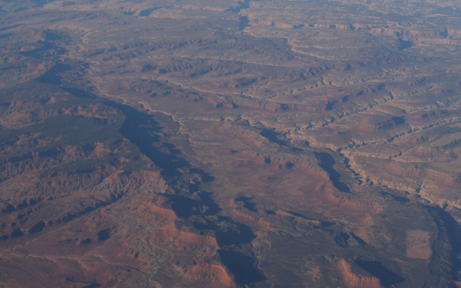
The agreement extinguished Ute title to approximately 3.7 million acres ↗ of the San Juan mountain country — the mineral-rich highland drained by the upper Animas, Uncompahgre, and Rio Grande headwaters. In exchange, the United States promised an annuity of twenty-five thousand dollars per year, continuation of existing treaty benefits, and the explicit retention by the Ute of all reservation lands lying outside the ceded zone. The agreement was ratified by Congress and signed into law in April 1874, opening the San Juans to legal mining claims almost immediately. Silverton was platted that same year, and the rush that followed within the decade brought the Denver & Rio Grande Railroad to Durango by 1881.
What the Ute retained, and what followed
The cession was bounded to the south and west, leaving the Southern Ute and Weeminuche bands with a broad reservation stretching across what is now La Plata, Archuleta, and Montezuma counties. That boundary, however, did not hold. The Meeker Massacre of 1879, in which White River Ute killed Indian agent Nathan Meeker and several employees in northwestern Colorado, provided the political pretext for a far larger removal. The Removal Act of 1880 stripped the White River and Uncompahgre Ute of their remaining Colorado lands almost entirely and relocated them to Utah. The Southern Ute and Weeminuche bands in the south were allowed to remain but saw their reservation reduced again by the allotment legislation of the 1880s and 1890s.
The Dawes Severalty Act of 1887 converted portions of the Southern Ute Reservation from communal tribal tenure to individual allotments, with "surplus" land opened to homesteading. The Weeminuche band, under Chief Ignacio, refused allotment and moved west onto unallotted land that eventually became the separate Ute Mountain Ute Reservation, whose eastern boundary today abuts Mesa Verde National Park. The Southern Ute Reservation, centered on Ignacio, Colorado, survived allotment as a checkerboard of tribal and private land; subsequent land consolidation programs through the mid-twentieth century restored some continuity to tribal holdings.
The Brunot Agreement is thus the hinge on which the modern reservation map turns. The 1868 treaty had drawn a generous western boundary; the 1873 cession removed the mountains without compensation proportionate to their mineral yield, which proved enormous by any measure. The annuity of twenty-five thousand dollars annually stood against a silver economy that within two decades produced hundreds of millions of dollars from mines in the ceded zone alone. Ouray understood what he was signing; his reported understanding was that the Ute could not hold the mountains against the miners regardless of treaty text, and that a negotiated boundary was preferable to an imposed one. Whether that calculus served the Ute well is a question the subsequent sequence of federal actions — 1879, 1880, 1887 — answered in the negative.
The land south and west of the ceded zone, where Durango now stands, came to its present shape through that same sequence: prospectors, railroad, townsite, and reservation boundary all arriving within a decade of Brunot's signature.